Boating & Maritime

In Olde Towne

Welcome to Mile Marker Zero

on the intracoastal waterway

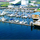
America’s Intracoastal Waterway is a network of canals, inlets, bays, and rivers that run the length of the Eastern Seaboard from Portsmouth, Virginia, to the Florida Keys, and along the Gulf of Mexico from Apalachee Bay to Brownsville, Texas. The ribbon of water is divided into the Atlantic Intracoastal Waterway and the Gulf Intracoastal Waterway. Together they provide navigable routes for commercial barges and light water-borne pleasure crafts, away from the hazards of the open sea. Traveling the entire length of the Intracoastal Waterway involves a journey of about 3,000 miles, with connections to the Great Loop offering access to an additional 4,500 miles of inland waterways.
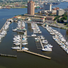
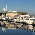
portsmouth offers:

  • Free overnight dockage for vessels 40 feet and under (36-hour
    limit, and no more than 3 days in any 30-day period) at High Street Landing basin. There is
    no electricity, water, or facilities. Please call (757) 393-8782 for a recorded message about mooring rules.

    Click here for Portsmouth Boat Mooring Requirements»

  •  85 miles of navigable channels
  • Easy access to the Atlantic Ocean and the Chesapeake Bay
  • A location in the heart of all waterfront festivals
  • Walking or biking to the Olde Towne historic district as well as
    many area restaurants, shops, and attractions
  • Daily ferry service to Norfolk aboard the Elizabeth River Ferry

olde towne/portsmouth

Marinas and Boat Clubs

freedom4

Freedom
Boat Club

tidewater
yacht marina

ocean yacht
marina